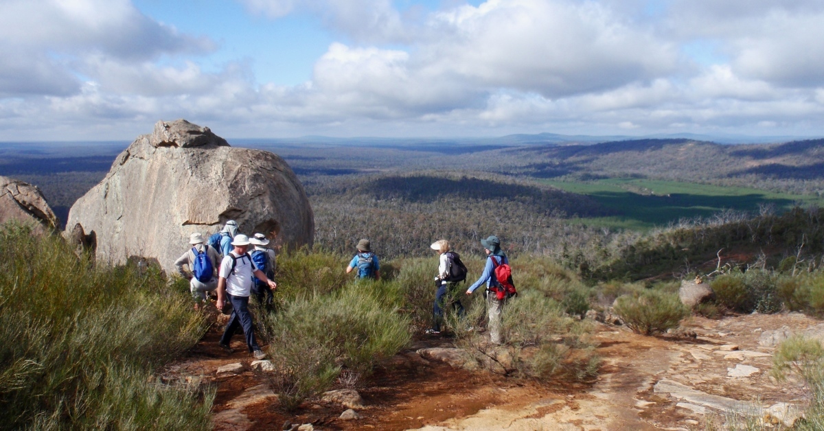
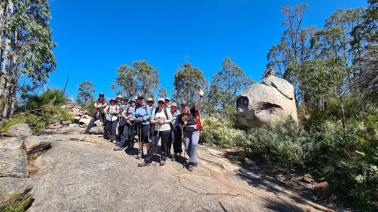
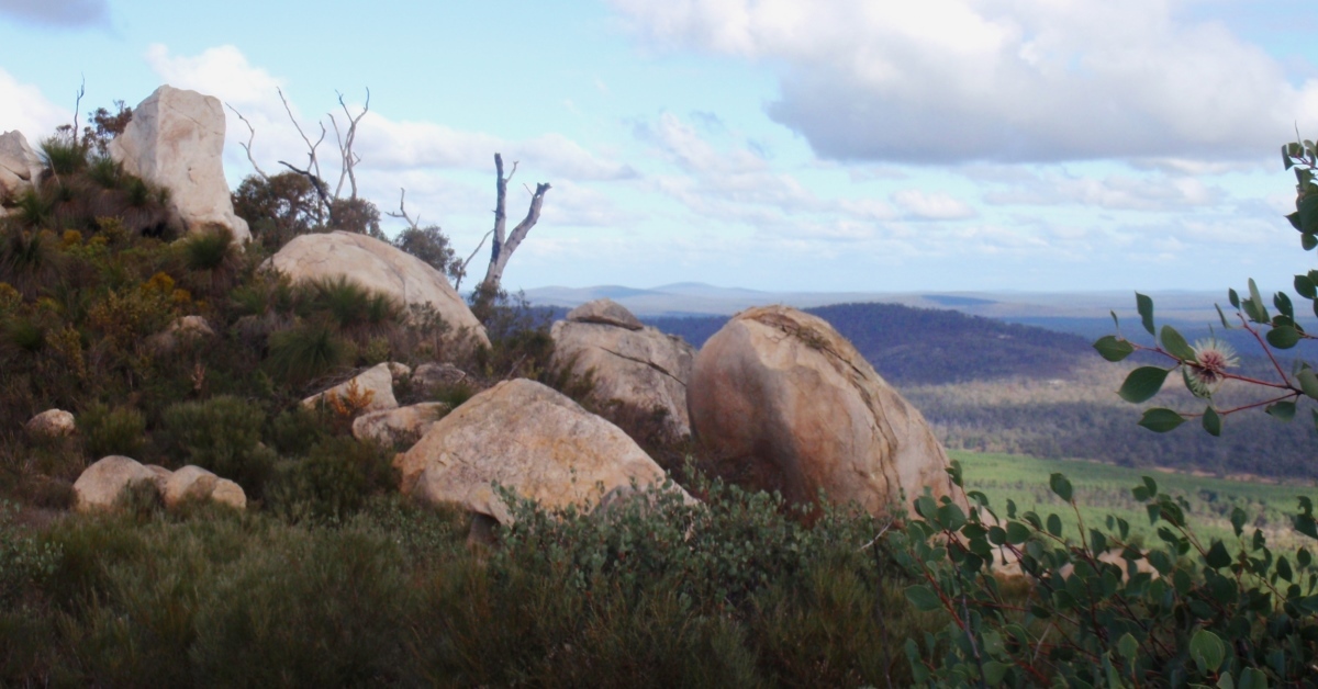
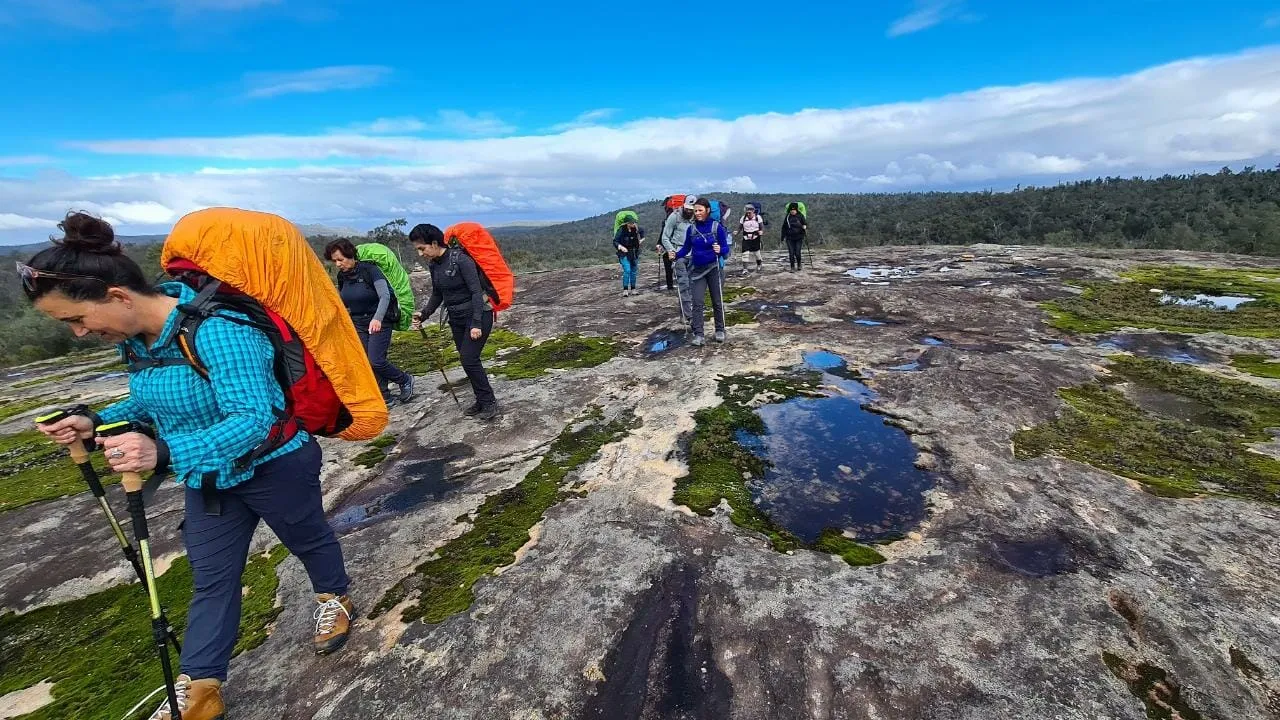
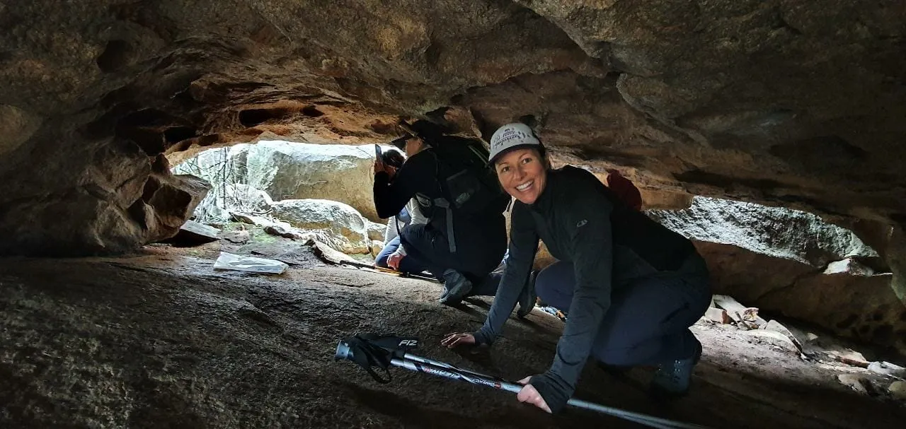
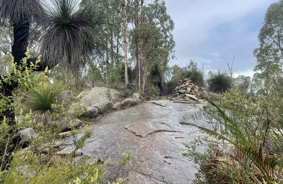
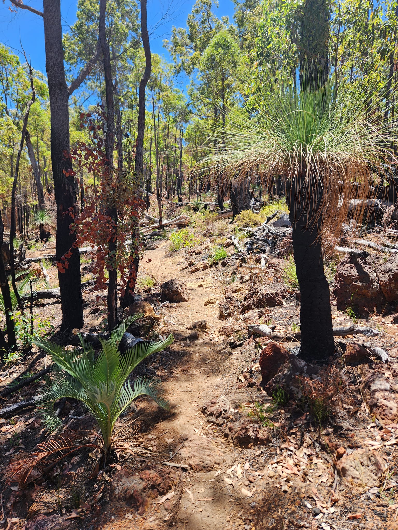
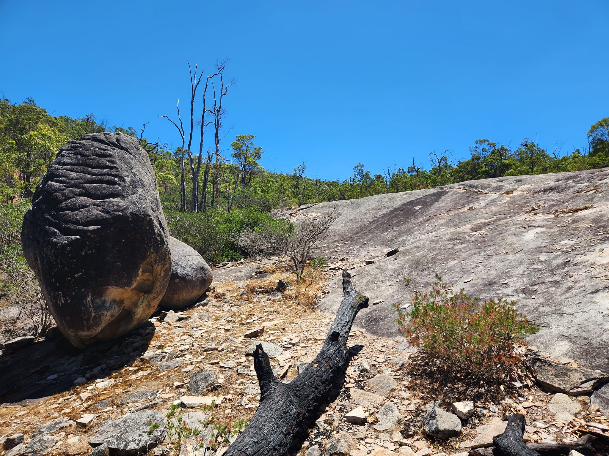
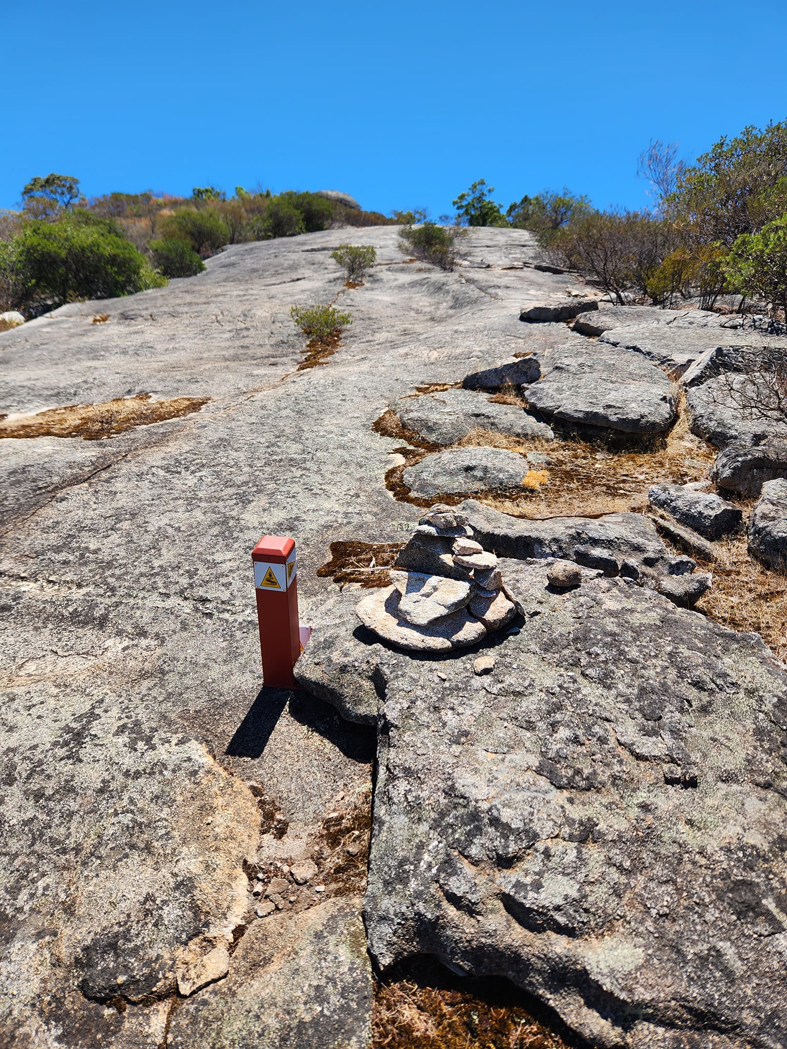
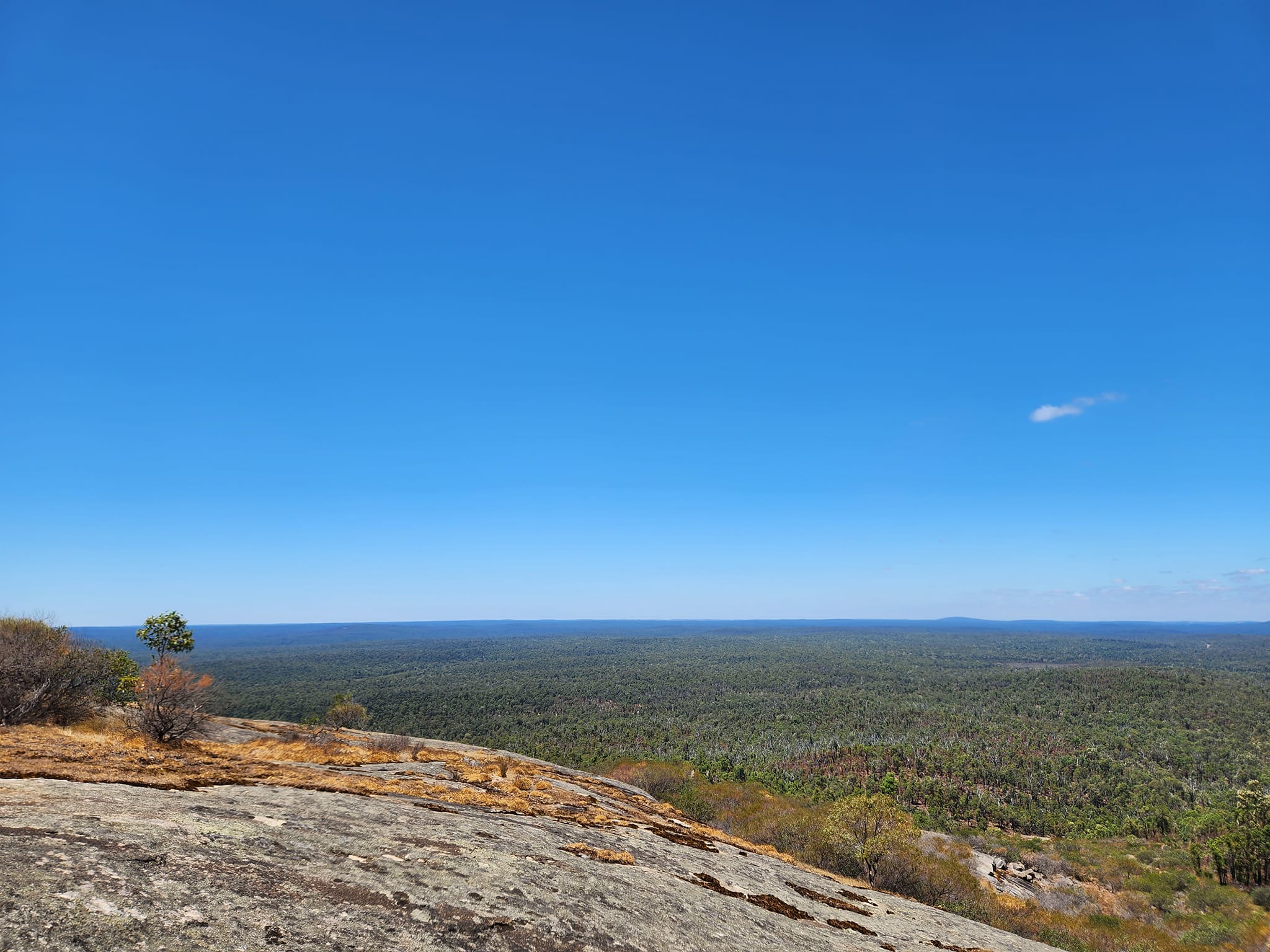
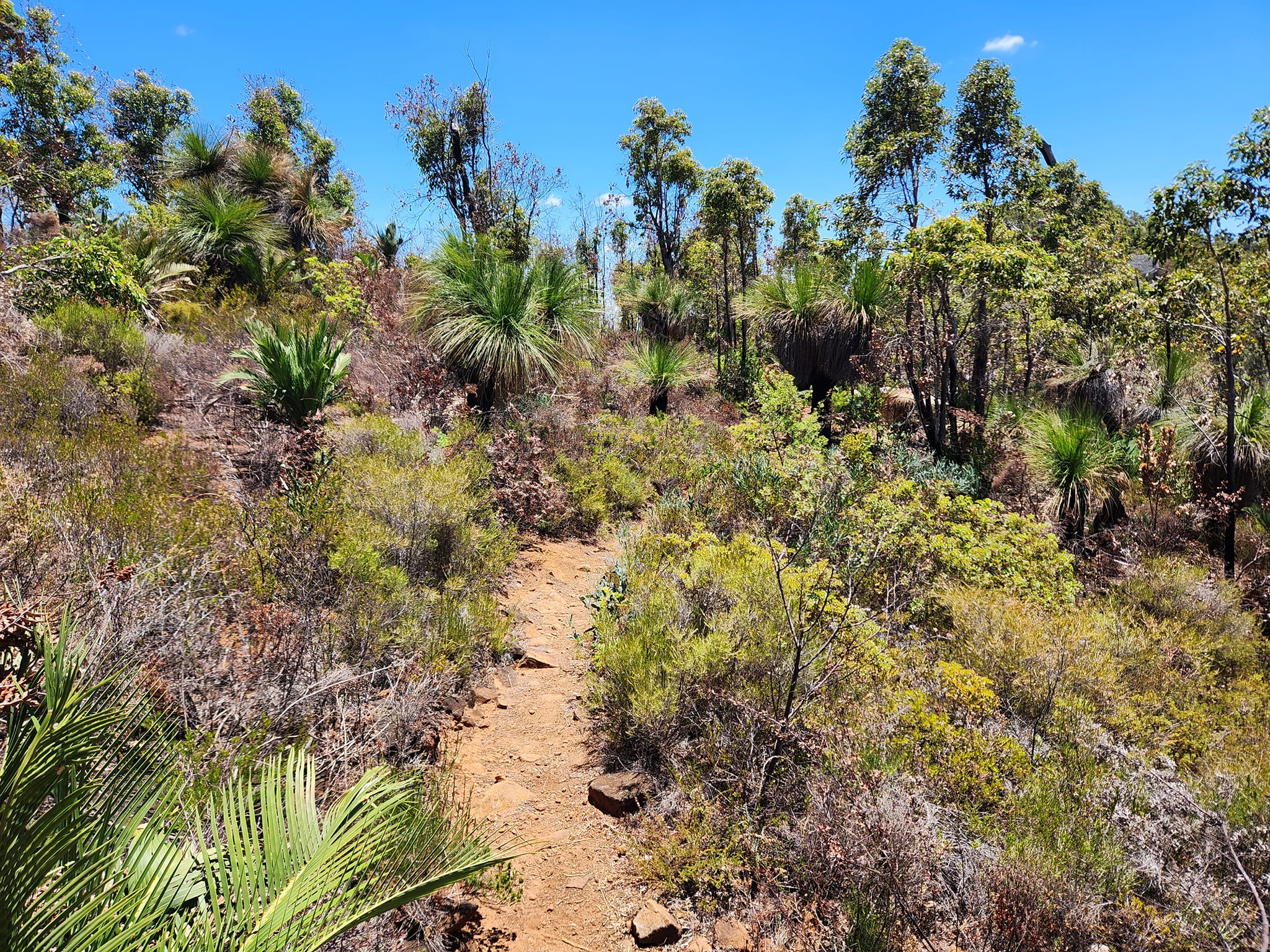
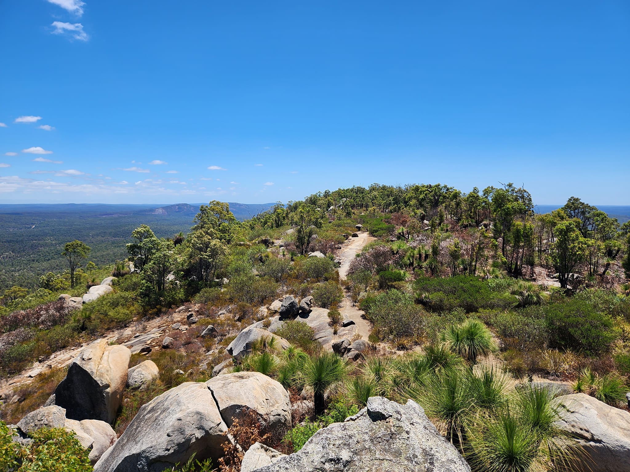
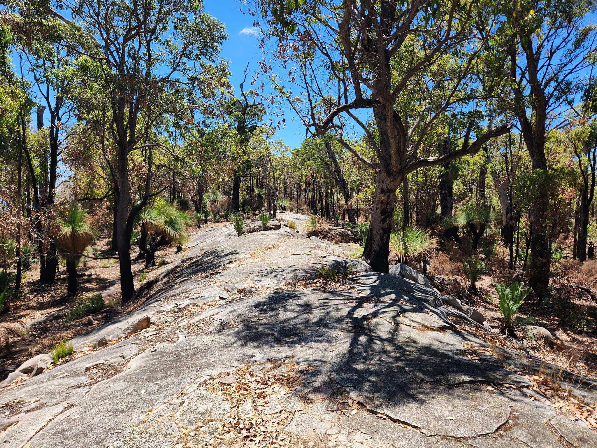
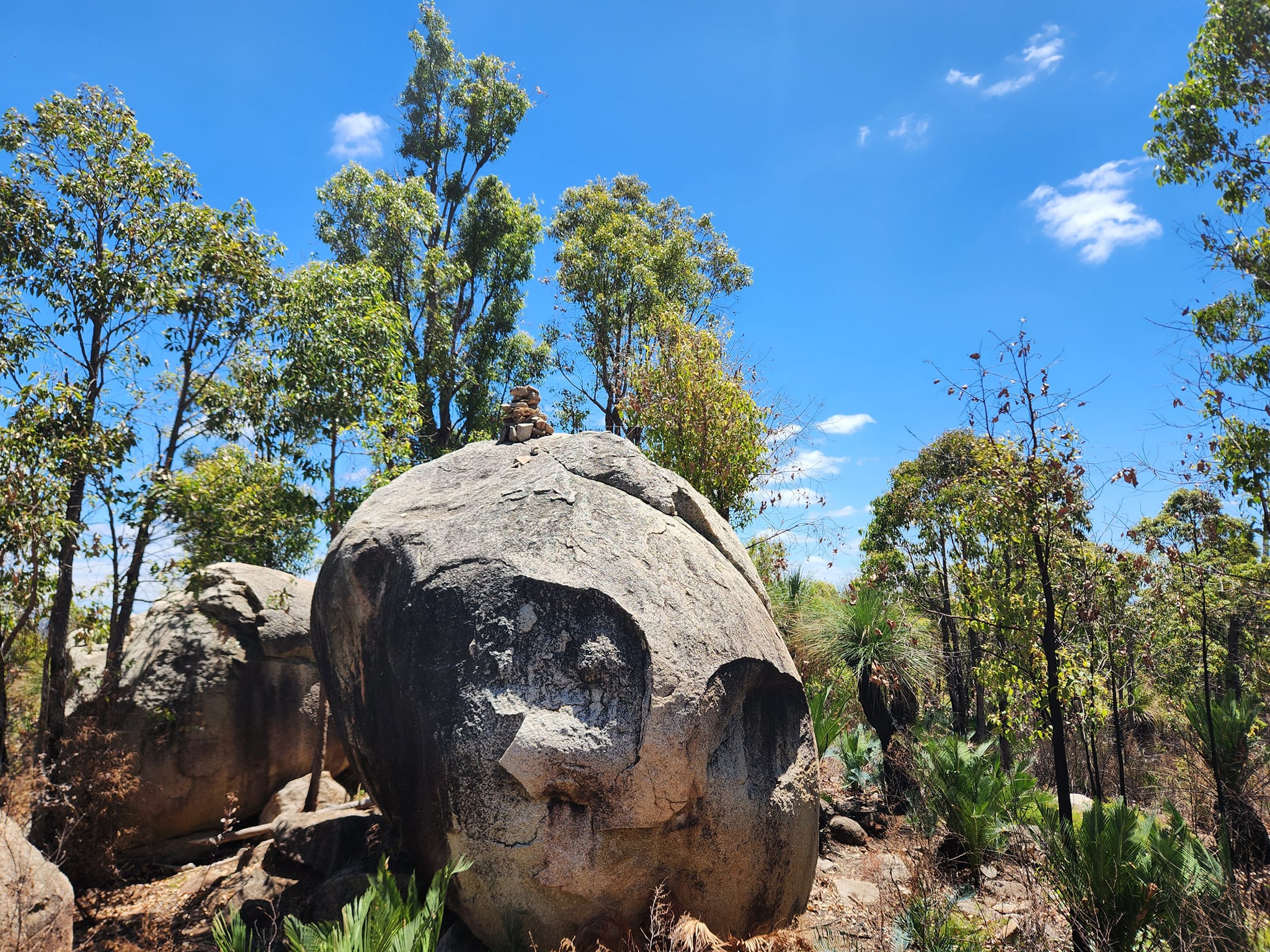
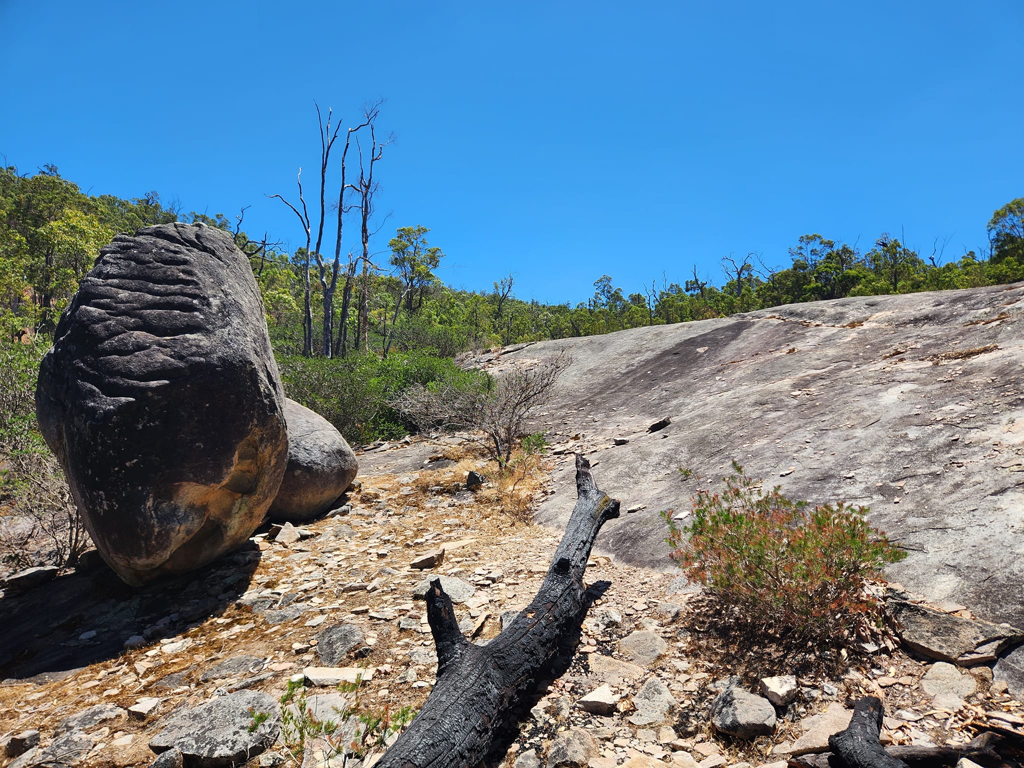
The Mount Cooke Trail is an 11km walk, with 3km of the trail within the Monadnocks National Park. The summit stands at 582 metres above sea level and is the highest granite monadnock in the Darling Range.
While the trail is only 11 kms in length, at least four hours, including a 30 minutes rest stop, should be allocated to completing the trail. In mid-winter conditions along the narrow summit ridge can be unpleasant and special care is needed in high winds and when rain or low clouds reduce visibility.
Parking for access to “the mountains” is at Sullivan Rock carpark on Albany Highway. Caution should be taken when crossing the Highway to get onto the spur trail that leads to the Bibbulmun Track.
Once on the Bibbulmun Track (from Sullivan Rock spur trail) head south for 8km to the top of Mt Cooke (16km return). If you head north (from Sullivan Rock spur trail) this will take you to Mt Vincent and Mt Cuthbert. It is 2km to the summit of Mt Vincent or 4km over Mt Cuthbert and on to the peak of Mt Cuthbert.
Anyone walking on the Bibbulmun Track is encouraged to purchase a map from the Bibbulmun Track Foundation, or to thoroughly research the track on their website.
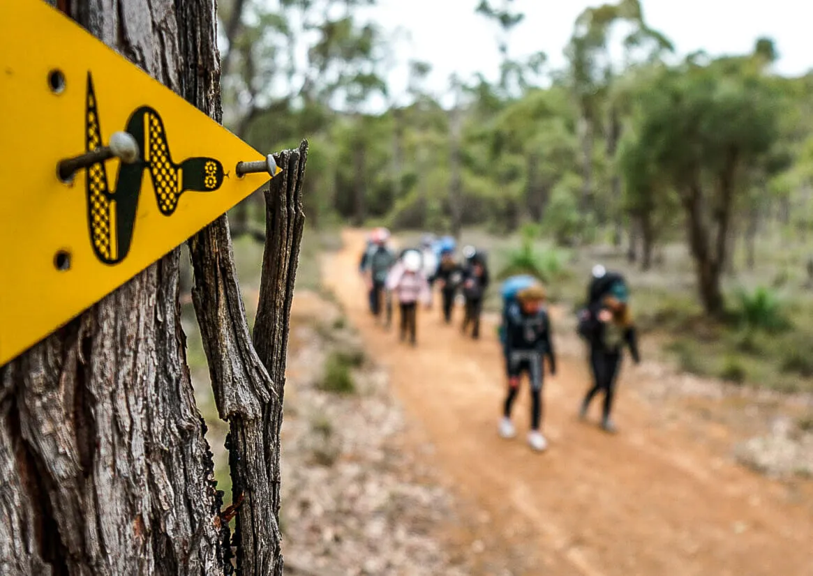
The Bibbulmun Track trail marker is the yellow arrow with a black Waugal design (snake).
Dogs and wheeled vehicles are not permitted on the Bibbulmun Track, it is a walking track only.
People are discouraged from walking in extreme weather conditions. Days of extreme fire danger ratings are best avoided. Plenty of water should be taken when heading out onto the Bibbulmun Track.
It is encouraged for all hikers to check alerts on the Parks and Wildlife Service – Department of Biodiversity, Conservation and Attractions – Park Alerts System should be checked prior to walking to see any closures due to fires, or if during spring or autumn, there may be diversions due to prescribed burning.